
Thank you for supporting this site ❤️
Make a donation
Make a donation
Greendale Township topographic map
Click on the map to display elevation.
Thank you for supporting this site ❤️
Make a donation
Make a donation
About this map
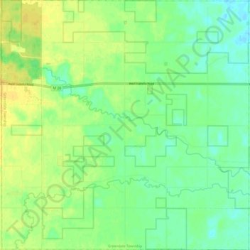
Name: Greendale Township topographic map, elevation, terrain.
Location: Greendale Township, Midland County, Michigan, United States (43.55333 -84.60796 43.64078 -84.48829)
Average elevation: 208 m
Minimum elevation: 197 m
Maximum elevation: 220 m
Thank you for supporting this site ❤️
Make a donation
Make a donation
Other topographic maps
Click on a map to view its topography, its elevation and its terrain.