
Teoponte topographic map
Interactive map
Click on the map to display elevation.
About this map
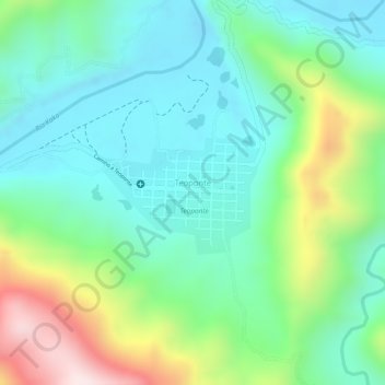
Name: Teoponte topographic map, elevation, terrain.
Location: Teoponte, Provincia Larecaja, La Paz, Bolivia (-15.49959 -67.82422 -15.49299 -67.81485)
Average elevation: 522 m
Minimum elevation: 380 m
Maximum elevation: 834 m
Other topographic maps
Click on a map to view its topography, its elevation and its terrain.