
Corrales topographic map
Interactive map
Click on the map to display elevation.
About this map
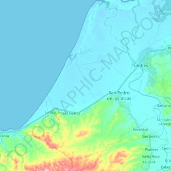
Name: Corrales topographic map, elevation, terrain.
Location: Corrales, Tumbes, Perú (-3.67768 -80.55640 -3.50508 -80.43818)
Average elevation: 30 m
Minimum elevation: -1 m
Maximum elevation: 244 m