
Alfarràs topographic map
Interactive map
Click on the map to display elevation.
About this map
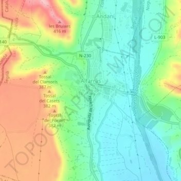
Name: Alfarràs topographic map, elevation, terrain.
Location: Alfarràs, Segriá, Lérida, Cataluña, 25120, España (41.82322 0.56512 41.83604 0.57740)
Average elevation: 322 m
Minimum elevation: 264 m
Maximum elevation: 420 m