
Thank you for supporting this site ❤️
Make a donation
Make a donation
Tahier topographic map
Click on the map to display elevation.
Thank you for supporting this site ❤️
Make a donation
Make a donation
About this map
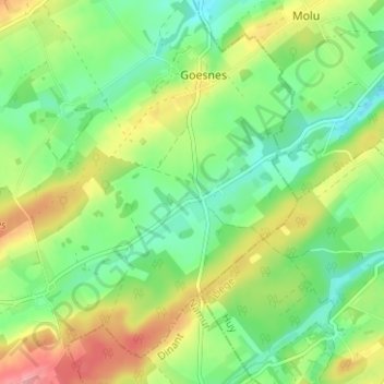
Name: Tahier topographic map, elevation, terrain.
Location: Tahier, Évelette, Ohey, Namur, Wallonie, 5353, Belgique (50.40780 5.19990 50.44780 5.23990)
Average elevation: 240 m
Minimum elevation: 201 m
Maximum elevation: 302 m
Thank you for supporting this site ❤️
Make a donation
Make a donation