
Make a donation
Limington topographic map
Click on the map to display elevation.
Make a donation
Limington
According to the United States Census Bureau, the town has a total area of 43.29 square miles (112.12 km2), of which 41.92 square miles (108.57 km2) is land and 1.37 square miles (3.55 km2) is water. Limington is drained by the Little Ossipee River and Saco River. There are seven ponds, with four of these—Boyd, Dole, Foss and Sand ponds—in South Limington, and three others—Horn, Ward and Webster ponds—in North Limington. The highest point in town is Sawyer Mountain, at an elevation of 1,198 feet (370 m) above sea level.
Make a donation
About this map
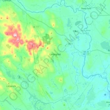
Name: Limington topographic map, elevation, terrain.
Location: Limington, York County, Maine, 04049, United States (43.65595 -70.77627 43.80524 -70.63353)
Average elevation: 123 m
Minimum elevation: 53 m
Maximum elevation: 401 m
Make a donation
Other topographic maps
Click on a map to view its topography, its elevation and its terrain.
Make a donation
Make a donation