
Bandama topographic map
Interactive map
Click on the map to display elevation.
About this map
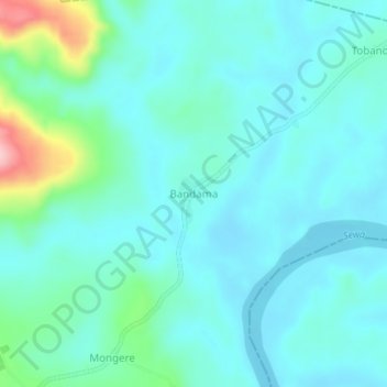
Name: Bandama topographic map, elevation, terrain.
Location: Bandama, Bonthe District, Province du Sud, Sierra Leone (7.62435 -12.03382 7.66435 -11.99382)
Average elevation: 39 m
Minimum elevation: 7 m
Maximum elevation: 187 m