
Bunker Hill topographic map
Interactive map
Click on the map to display elevation.
About this map
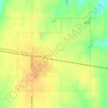
Name: Bunker Hill topographic map, elevation, terrain.
Location: Bunker Hill, Russell County, Kansas, United States (38.86724 -98.71125 38.88547 -98.68782)
Average elevation: 562 m
Minimum elevation: 541 m
Maximum elevation: 573 m
Other topographic maps
Click on a map to view its topography, its elevation and its terrain.
Waldo
United States > Kansas > Russell County > Waldo
Waldo, Russell County, Kansas, 67673, United States
Average elevation: 526 m