
Jasper topographic map
Interactive map
Click on the map to display elevation.
About this map
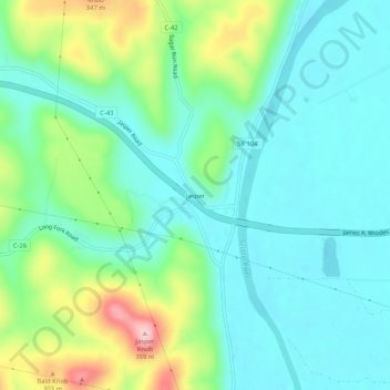
Name: Jasper topographic map, elevation, terrain.
Location: Jasper, Pike County, Ohio, 45642, United States (39.03007 -83.07657 39.07007 -83.03657)
Average elevation: 209 m
Minimum elevation: 156 m
Maximum elevation: 355 m