
Les Grands Prés topographic map
Interactive map
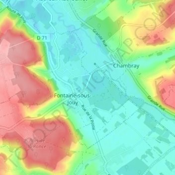
Click on the map to display elevation.
About this map
Name: Les Grands Prés topographic map, elevation, terrain.
Average elevation: 68 m
Minimum elevation: 25 m
Maximum elevation: 139 m
Other topographic maps
Click on a map to view its topography, its elevation and its terrain.
La Fontaine
France > Normandie > Eure > Fontaine-sous-Jouy
La Fontaine, Fontaine-sous-Jouy, Les Andelys, Eure, Normandie, France métropolitaine, 27120, France
Average elevation: 67 m