
Ndangui topographic map
Interactive map
Click on the map to display elevation.
About this map
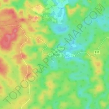
Name: Ndangui topographic map, elevation, terrain.
Location: Ndangui, Ogooué-Lolo, Gabon (-0.77868 12.95752 -0.73868 12.99752)
Average elevation: 282 m
Minimum elevation: 241 m
Maximum elevation: 332 m