
Thank you for supporting this site ❤️
Make a donation
Make a donation
Logo topographic map
Click on the map to display elevation.
Thank you for supporting this site ❤️
Make a donation
Make a donation
About this map
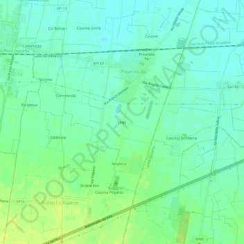
Name: Logo topographic map, elevation, terrain.
Location: Logo, Pinarolo Po, Pavia, Lombardia, 27046, Italia (45.04157 9.14457 45.08157 9.18457)
Average elevation: 68 m
Minimum elevation: 60 m
Maximum elevation: 78 m
Thank you for supporting this site ❤️
Make a donation
Make a donation