
Conne River topographic map
Interactive map
Click on the map to display elevation.
About this map
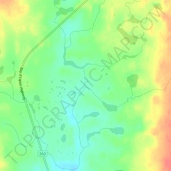
Name: Conne River topographic map, elevation, terrain.
Location: Conne River, Newfoundland and Labrador, Canada (48.23595 -55.48816 48.23616 -55.48811)
Average elevation: 208 m
Minimum elevation: 182 m
Maximum elevation: 242 m
Other topographic maps
Click on a map to view its topography, its elevation and its terrain.