
Culleredo topographic map
Interactive map
Click on the map to display elevation.
About this map
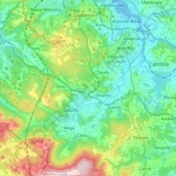
Name: Culleredo topographic map, elevation, terrain.
Location: Culleredo, A Coruña, Galicia, Spain (43.22511 -8.47002 43.33055 -8.35328)
Average elevation: 139 m
Minimum elevation: 0 m
Maximum elevation: 519 m
Other topographic maps
Click on a map to view its topography, its elevation and its terrain.