
Levante topographic map
Interactive map
Click on the map to display elevation.
About this map
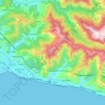
Name: Levante topographic map, elevation, terrain.
Location: Levante, Génova, Ligúria, Itália (44.37847 8.97641 44.43656 9.09558)
Average elevation: 272 m
Minimum elevation: 0 m
Maximum elevation: 901 m