
Thank you for supporting this site ❤️
Make a donation
Make a donation
Seraing topographic map
Click on the map to display elevation.
Thank you for supporting this site ❤️
Make a donation
Make a donation
About this map
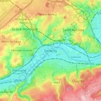
Name: Seraing topographic map, elevation, terrain.
Location: Seraing, Liège, Wallonia, 4100, Belgium (50.57524 5.46894 50.65524 5.54894)
Average elevation: 140 m
Minimum elevation: 55 m
Maximum elevation: 271 m
Thank you for supporting this site ❤️
Make a donation
Make a donation