
Vierset-Barse topographic map
Interactive map
Click on the map to display elevation.
About this map
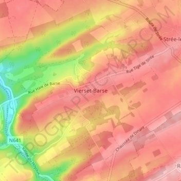
Name: Vierset-Barse topographic map, elevation, terrain.
Location: Vierset-Barse, Hoei, Luik, Wallonië, 4577, België (50.46112 5.27489 50.50112 5.31489)
Average elevation: 233 m
Minimum elevation: 135 m
Maximum elevation: 281 m