
Birndorf topographic map
Interactive map
Click on the map to display elevation.
About this map
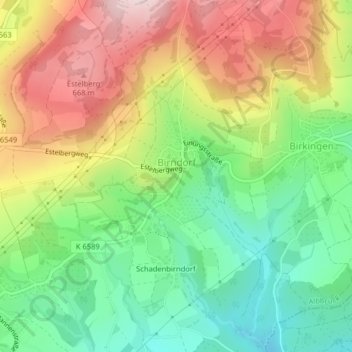
Name: Birndorf topographic map, elevation, terrain.
Location: Birndorf, Landkreis Waldshut, Baden-Württemberg, Deutschland (47.61833 8.12742 47.62754 8.13670)
Average elevation: 520 m
Minimum elevation: 378 m
Maximum elevation: 701 m