
City of Washington topographic map
Interactive map
Click on the map to display elevation.
About this map
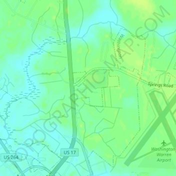
Name: City of Washington topographic map, elevation, terrain.
Average elevation: 8 m
Minimum elevation: 1 m
Maximum elevation: 14 m
Other topographic maps
Click on a map to view its topography, its elevation and its terrain.
Washington Heights
United States > North Carolina > Beaufort County > City of Washington > Washington Heights
Washington Heights, City of Washington, Beaufort County, North Carolina, 27889, United States
Average elevation: 7 m