
Thank you for supporting this site ❤️
Make a donation
Make a donation
Kamas topographic map
Click on the map to display elevation.
Thank you for supporting this site ❤️
Make a donation
Make a donation
About this map
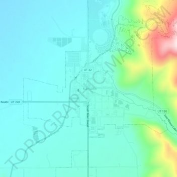
Name: Kamas topographic map, elevation, terrain.
Location: Kamas, Summit County, Utah, 84036, United States (40.62296 -111.30052 40.66296 -111.26052)
Average elevation: 2,011 m
Minimum elevation: 1,931 m
Maximum elevation: 2,349 m
Thank you for supporting this site ❤️
Make a donation
Make a donation