
辽阳市 topographic map
Interactive map
Click on the map to display elevation.
About this map
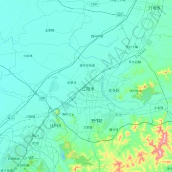
Name: 辽阳市 topographic map, elevation, terrain.
Location: 辽阳市, 辽宁省, 111000, 中国 (41.11389 123.00935 41.43389 123.32935)
Average elevation: 53 m
Minimum elevation: -6 m
Maximum elevation: 464 m
Other topographic maps
Click on a map to view its topography, its elevation and its terrain.