
Friedenspark topographic map
Interactive map
Click on the map to display elevation.
About this map
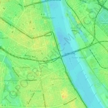
Name: Friedenspark topographic map, elevation, terrain.
Average elevation: 49 m
Minimum elevation: 35 m
Maximum elevation: 67 m
Other topographic maps
Click on a map to view its topography, its elevation and its terrain.
Rodenkirchen
Deutschland > Nordrhein-Westfalen > Köln > Höningen
Rodenkirchen, Höningen, Köln, Regierungsbezirk Köln, Nordrhein-Westfalen, 50997, Deutschland
Average elevation: 54 m