
Monti topographic map
Interactive map
Click on the map to display elevation.
About this map
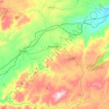
Name: Monti topographic map, elevation, terrain.
Location: Monti, Sassari, Sardegna, Italia (40.73351 9.28117 40.85985 9.43139)
Average elevation: 397 m
Minimum elevation: 68 m
Maximum elevation: 795 m