
Thank you for supporting this site ❤️
Make a donation
Make a donation
Steenkerke topographic map
Click on the map to display elevation.
Thank you for supporting this site ❤️
Make a donation
Make a donation
About this map
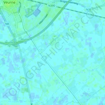
Name: Steenkerke topographic map, elevation, terrain.
Location: Steenkerke, Furnes, Flandre-Occidentale, Belgique (51.03255 2.65587 51.07294 2.72105)
Average elevation: 2 m
Minimum elevation: -5 m
Maximum elevation: 7 m
Thank you for supporting this site ❤️
Make a donation
Make a donation