
Thank you for supporting this site ❤️
Make a donation
Make a donation
Diffin topographic map
Click on the map to display elevation.
Thank you for supporting this site ❤️
Make a donation
Make a donation
About this map
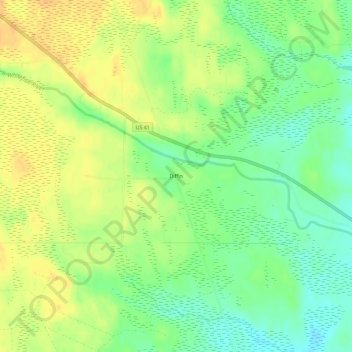
Name: Diffin topographic map, elevation, terrain.
Average elevation: 285 m
Minimum elevation: 269 m
Maximum elevation: 299 m
Thank you for supporting this site ❤️
Make a donation
Make a donation
Other topographic maps
Click on a map to view its topography, its elevation and its terrain.
Sand River
United States > Michigan > Alger County > Onota Township > Sand River
Average elevation: 187 m
Thank you for supporting this site ❤️
Make a donation
Make a donation