
Laurelwood Park topographic map
Interactive map
Click on the map to display elevation.
About this map
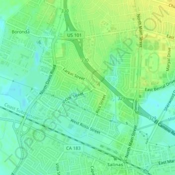
Name: Laurelwood Park topographic map, elevation, terrain.
Average elevation: 15 m
Minimum elevation: 6 m
Maximum elevation: 26 m
Other topographic maps
Click on a map to view its topography, its elevation and its terrain.
Salinas
United States > California > Monterey County > Salinas
Salinas, Monterey County, California, 93901, United States
Average elevation: 147 m