
Le Mas Léger topographic map
Interactive map
Click on the map to display elevation.
About this map
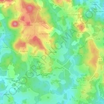
Name: Le Mas Léger topographic map, elevation, terrain.
Average elevation: 563 m
Minimum elevation: 516 m
Maximum elevation: 637 m
Other topographic maps
Click on a map to view its topography, its elevation and its terrain.
Lascaux
France > Nouvelle-Aquitaine > Creuse > Le Donzeil
Lascaux, Le Donzeil, Guéret, Creuse, Nouvelle-Aquitaine, France métropolitaine, 23480, France
Average elevation: 549 m