
Thank you for supporting this site ❤️
Make a donation
Make a donation
Red Mountain topographic map
Click on the map to display elevation.
Thank you for supporting this site ❤️
Make a donation
Make a donation
About this map
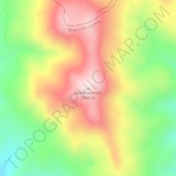
Name: Red Mountain topographic map, elevation, terrain.
Location: Red Mountain, Bear Lake County, Idaho, United States (42.47173 -111.12688 42.47183 -111.12678)
Average elevation: 2,423 m
Minimum elevation: 2,163 m
Maximum elevation: 2,680 m
Thank you for supporting this site ❤️
Make a donation
Make a donation
Other topographic maps
Click on a map to view its topography, its elevation and its terrain.