
Thank you for supporting this site ❤️
Make a donation
Make a donation
Djouab topographic map
Click on the map to display elevation.
Thank you for supporting this site ❤️
Make a donation
Make a donation
About this map
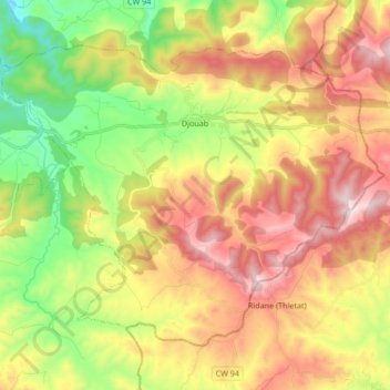
Name: Djouab topographic map, elevation, terrain.
Location: Djouab, Souaghi District, Médéa, Algeria (36.05961 3.34014 36.16451 3.50843)
Average elevation: 1,010 m
Minimum elevation: 670 m
Maximum elevation: 1,413 m
Thank you for supporting this site ❤️
Make a donation
Make a donation