
Thank you for supporting this site ❤️
Make a donation
Make a donation
Vogtei topographic map
Click on the map to display elevation.
Thank you for supporting this site ❤️
Make a donation
Make a donation
About this map
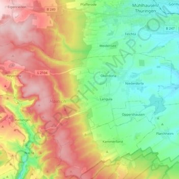
Name: Vogtei topographic map, elevation, terrain.
Location: Vogtei, Unstrut-Hainich-Kreis, Turingia, 99986, Germania (51.12329 10.29898 51.18858 10.48592)
Average elevation: 314 m
Minimum elevation: 189 m
Maximum elevation: 496 m
Thank you for supporting this site ❤️
Make a donation
Make a donation