
Pixham topographic map
Click on the map to display elevation.
About this map
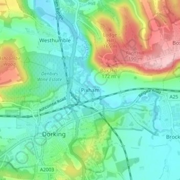
Name: Pixham topographic map, elevation, terrain.
Location: Pixham, Mole Valley, Surrey, England, RH4 1PH, United Kingdom (51.22227 -0.33774 51.26227 -0.29774)
Average elevation: 91 m
Minimum elevation: 37 m
Maximum elevation: 219 m
Other topographic maps
Click on a map to view its topography, its elevation and its terrain.