
Le Bourg topographic map
Interactive map
Click on the map to display elevation.
About this map
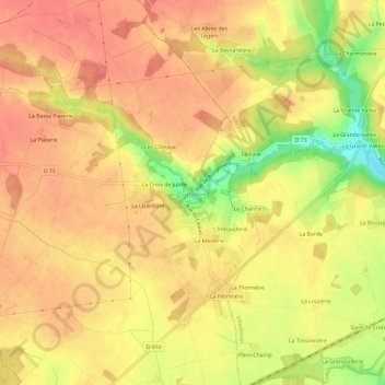
Name: Le Bourg topographic map, elevation, terrain.
Average elevation: 131 m
Minimum elevation: 85 m
Maximum elevation: 152 m
Other topographic maps
Click on a map to view its topography, its elevation and its terrain.
La Croix de Jubilé
France > Centre-Val de Loire > Indre-et-Loire > Crotelles
La Croix de Jubilé, Crotelles, Loches, Indre-et-Loire, Centre-Val de Loire, France métropolitaine, 37380, France
Average elevation: 133 m