
莫大园 topographic map
Interactive map
Click on the map to display elevation.
About this map
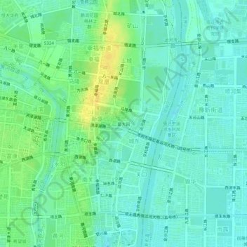
Name: 莫大园 topographic map, elevation, terrain.
Location: 莫大园, 幸福街道, 宿城区, 宿迁市, 江苏省, 223865, 中国 (33.93820 118.28001 33.97820 118.32001)
Average elevation: 25 m
Minimum elevation: 17 m
Maximum elevation: 39 m
Other topographic maps
Click on a map to view its topography, its elevation and its terrain.