
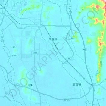
宋疃镇 topographic map
Interactive map
Click on the map to display elevation.
About this map
Name: 宋疃镇 topographic map, elevation, terrain.
Location: 宋疃镇, 烈山区, 淮北市, 安徽省, 中国 (33.74587 116.80467 33.89172 116.95512)
Average elevation: 41 m
Minimum elevation: 26 m
Maximum elevation: 332 m