
Thank you for supporting this site ❤️
Make a donation
Make a donation
Lake Oconee topographic map
Click on the map to display elevation.
Thank you for supporting this site ❤️
Make a donation
Make a donation
About this map
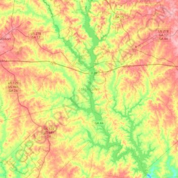
Name: Lake Oconee topographic map, elevation, terrain.
Location: Lake Oconee, Greene County, Georgia, United States (33.34373 -83.35815 33.66544 -83.13871)
Average elevation: 165 m
Minimum elevation: 106 m
Maximum elevation: 224 m
Thank you for supporting this site ❤️
Make a donation
Make a donation