
General Paz topographic map
Interactive map
Click on the map to display elevation.
About this map
Name: General Paz topographic map, elevation, terrain.
Average elevation: 93 m
Minimum elevation: 89 m
Maximum elevation: 97 m
Other topographic maps
Click on a map to view its topography, its elevation and its terrain.
Alberdi
Argentina > Buenos Aires > Rauch
Alberdi, Rauch, Partido de Rauch, Buenos Aires, Argentina
Average elevation: 93 m
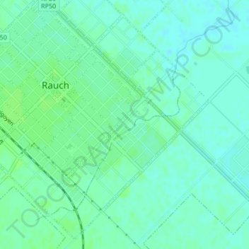
Rauch
Argentina > Buenos Aires > Rauch
Rauch, Partido de Rauch, Buenos Aires, 7203, Argentina
Average elevation: 93 m