
Bahía Murta topographic map
Interactive map
Click on the map to display elevation.
About this map
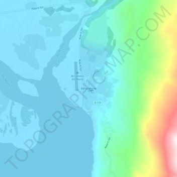
Name: Bahía Murta topographic map, elevation, terrain.
Average elevation: 384 m
Minimum elevation: 200 m
Maximum elevation: 1,303 m
Other topographic maps
Click on a map to view its topography, its elevation and its terrain.
Puerto Río Tranquilo
Chile > Región Aysén del General Carlos Ibáñez del Campo > Provincia de General Carrera > Río Ibáñez > Puerto Río Tranquilo
Puerto Río Tranquilo, Río Ibáñez, Provincia de General Carrera, Región Aysén del General Carlos Ibáñez del Campo, 6060000, Chile
Average elevation: 323 m