
Thank you for supporting this site ❤️
Make a donation
Make a donation
Naigaon topographic map
Click on the map to display elevation.
Thank you for supporting this site ❤️
Make a donation
Make a donation
About this map
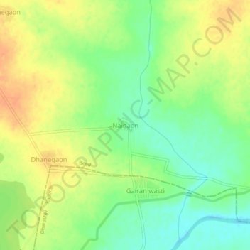
Name: Naigaon topographic map, elevation, terrain.
Location: Naigaon, Kaij, Beed, Maharashtra, India (18.57236 76.16124 18.61236 76.20124)
Average elevation: 640 m
Minimum elevation: 620 m
Maximum elevation: 659 m
Thank you for supporting this site ❤️
Make a donation
Make a donation