
Thank you for supporting this site ❤️
Make a donation
Make a donation
Vila Meã topographic map
Click on the map to display elevation.
Thank you for supporting this site ❤️
Make a donation
Make a donation
About this map
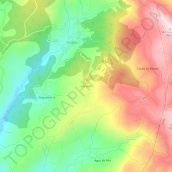
Name: Vila Meã topographic map, elevation, terrain.
Location: Vila Meã, Moledo, Castro Daire, Viseu, Portugal (40.79869 -7.88689 40.83869 -7.84689)
Average elevation: 646 m
Minimum elevation: 413 m
Maximum elevation: 921 m
Thank you for supporting this site ❤️
Make a donation
Make a donation