
La Beauchardière topographic map
Interactive map
Click on the map to display elevation.
About this map
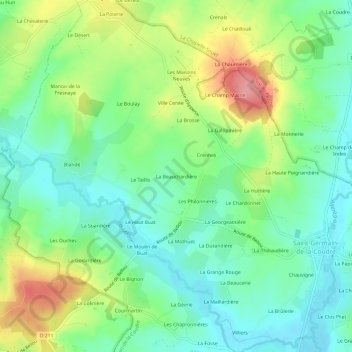
Name: La Beauchardière topographic map, elevation, terrain.
Average elevation: 136 m
Minimum elevation: 99 m
Maximum elevation: 205 m
Other topographic maps
Click on a map to view its topography, its elevation and its terrain.
Même
France > Normandie > Orne > Saint-Germain-de-la-Coudre
Même, Saint-Germain-de-la-Coudre, Mortagne-au-Perche, Orne, Normandie, France métropolitaine, 61130, France
Average elevation: 132 m