
Thank you for supporting this site ❤️
Make a donation
Make a donation
Bear Run topographic map
Click on the map to display elevation.
Thank you for supporting this site ❤️
Make a donation
Make a donation
About this map
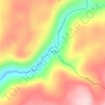
Name: Bear Run topographic map, elevation, terrain.
Location: Bear Run, Landrus, Tioga County, Pennsylvania, United States (41.64191 -77.20701 41.64198 -77.20693)
Average elevation: 520 m
Minimum elevation: 376 m
Maximum elevation: 625 m
Thank you for supporting this site ❤️
Make a donation
Make a donation