
Betijay topographic map
Interactive map
Click on the map to display elevation.
About this map
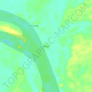
Name: Betijay topographic map, elevation, terrain.
Location: Betijay, Tahuanía, Atalaya, Ucayali, Perú (-10.05563 -74.06075 -10.01563 -74.02075)
Average elevation: 172 m
Minimum elevation: 164 m
Maximum elevation: 181 m
Other topographic maps
Click on a map to view its topography, its elevation and its terrain.