
Thank you for supporting this site ❤️
Make a donation
Make a donation
Obdam topographic map
Click on the map to display elevation.
Thank you for supporting this site ❤️
Make a donation
Make a donation
About this map
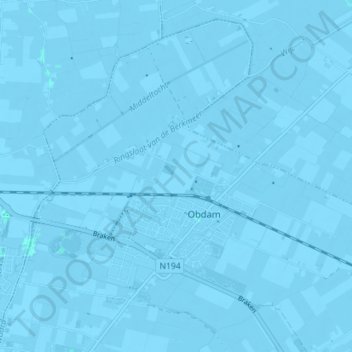
Name: Obdam topographic map, elevation, terrain.
Location: Obdam, Koggenland, Noord-Holland, Nederland (52.66169 4.87078 52.69991 4.94166)
Average elevation: -2 m
Minimum elevation: -6 m
Maximum elevation: 1 m
Thank you for supporting this site ❤️
Make a donation
Make a donation