
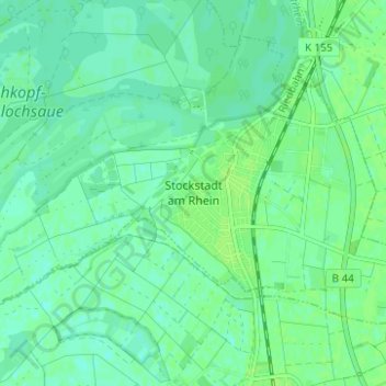
Stockstadt am Rhein topographic map
Interactive map
Click on the map to display elevation.
About this map
Name: Stockstadt am Rhein topographic map, elevation, terrain.
Average elevation: 89 m
Minimum elevation: 84 m
Maximum elevation: 92 m
Stockstadt liegt in der Oberrheinischen Tiefebene an der Schleife des Stockstadt-Erfelder Altrheins, dem Europareservat Kühkopf-Knoblochsaue gegenüber, in Höhe der Mündung der Modau in den Rhein, am südlichen Rand des Rhein-Main-Gebiets.