
Гора topographic map
Interactive map
Click on the map to display elevation.
About this map
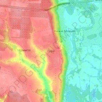
Name: Гора topographic map, elevation, terrain.
Location: Гора, Полтавський район, Oblast de Poltava, 38752, Ucrânia (49.51806 34.55139 49.55806 34.59139)
Average elevation: 119 m
Minimum elevation: 73 m
Maximum elevation: 161 m