
Thank you for supporting this site ❤️
Make a donation
Make a donation
Vivy topographic map
Click on the map to display elevation.
Thank you for supporting this site ❤️
Make a donation
Make a donation
About this map
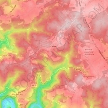
Name: Vivy topographic map, elevation, terrain.
Location: Vivy, Bouillon, Neufchâteau, Luxemburg, Wallonië, België (49.84261 4.99903 49.88368 5.09261)
Average elevation: 383 m
Minimum elevation: 188 m
Maximum elevation: 454 m
Thank you for supporting this site ❤️
Make a donation
Make a donation
Other topographic maps
Click on a map to view its topography, its elevation and its terrain.