
Oberlungwitz topographic map
Interactive map
Click on the map to display elevation.
About this map
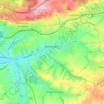
Name: Oberlungwitz topographic map, elevation, terrain.
Location: Oberlungwitz, Zwickau, Sachsen, 09353, Deutschland (50.76845 12.68277 50.80390 12.77886)
Average elevation: 355 m
Minimum elevation: 279 m
Maximum elevation: 482 m