
Halstead topographic map
Interactive map
Click on the map to display elevation.
About this map
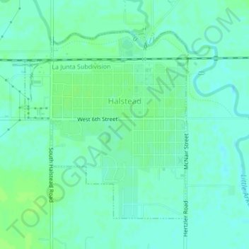
Name: Halstead topographic map, elevation, terrain.
Location: Halstead, Harvey County, Kansas, 67056, United States (37.98865 -97.52238 38.00892 -97.49994)
Average elevation: 426 m
Minimum elevation: 421 m
Maximum elevation: 430 m
Other topographic maps
Click on a map to view its topography, its elevation and its terrain.
North Newton
United States > Kansas > Harvey County
North Newton, Harvey County, Kansas, 67117, United States
Average elevation: 442 m