
Oosthoven topographic map
Interactive map
Click on the map to display elevation.
About this map
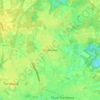
Name: Oosthoven topographic map, elevation, terrain.
Location: Oosthoven, Oud-Turnhout, Turnhout, Antwerpen, 2360, België (51.31684 4.95355 51.35684 4.99355)
Average elevation: 27 m
Minimum elevation: 15 m
Maximum elevation: 34 m