
Glatten topographic map
Interactive map
Click on the map to display elevation.
About this map
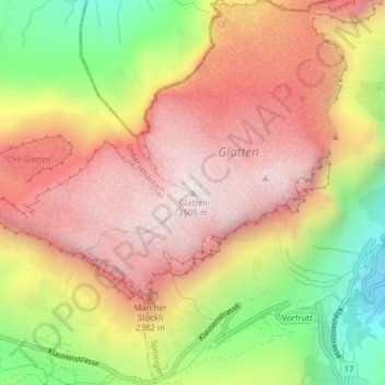
Name: Glatten topographic map, elevation, terrain.
Location: Glatten, Spiringen, Uri, 8751, Schweiz (46.88128 8.85929 46.88138 8.85939)
Average elevation: 2,090 m
Minimum elevation: 1,526 m
Maximum elevation: 2,509 m
Other topographic maps
Click on a map to view its topography, its elevation and its terrain.